
High wind warning issued for Washtenaw County; more snow, cold coming too
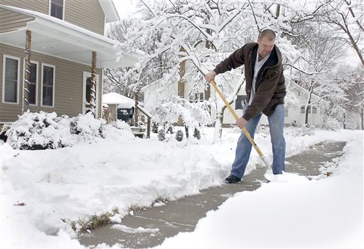
Mark Oswald of Mount Pleasant shovels snow in front of his home today. A storm will bring more snow today, along with high winds.
AP photo
Although the Ann Arbor area escaped the worst of a winter storm that hit other parts of Michigan Tuesday night, conditions are about to get a lot worse, the National Weather Service warns.
The Weather Service has issued a high wind warning starting today at noon and lasting until 4 a.m. Thursday. The wind will be accompanied by bone-chilling cold and snowfall overnight. The service says winds will gust to 60 mph, and sustained winds will blow at 30 to 40 mph.
High winds around noon today brought down a power line that closed east and westbound lanes of M-14 for a time.
Snow accumulation of up to 2 inches is expected tonight. Temperatures will fall to a low of between 14 and 18 degrees.
Before the serious snow and cold hits, expect rain and snow showers this afternoon. Temperatures will climb to a high of 41 to 45 before plunging.
Washtenaw County residents can take heart that our brethren on the west side of the state are getting a far bigger taste of winter.Â
A blizzard warning has been issued for southwestern lower Michigan. Up to 8 inches of snow fell in some parts overnight, and the storm knocked out power to at least 25,000 homes and businesses. Six to 8 more inches of snow will fall before the storm is over, the Weather Service says.
The Associated Press contributed to this story.
Comments
Vernice
Wed, Dec 9, 2009 : 12:49 p.m.
AAW- don't rush to say "duh". Ever been rear-ended by someone at 35 mph in the snow? Not all drivers are smart enough to remember to slow down. And yes, I agree. The media acts as though we're all going to be snowed into our homes soon. I better get to the store and stock up on suppies.
AAW
Wed, Dec 9, 2009 : 12:26 p.m.
Because the news media has nothing better to do than run stories like this. It was on tv last night and here in (kinda) print today. I agree with you Mikey2u this is not a blizzard event. Yes everyone needs to slow down when driving and allow extra time to get to where your going. Duh!!!!
Mikey2u
Wed, Dec 9, 2009 : 11:45 a.m.
Yeah, okay I get it - windy today and colder tomorrow. What I dont get is why all the drama in the reporting. Why does the media insist on making every weather report sound like the apocalypse? Why is it every snowfall of more than a couple of inches referred to as The BLIZZARD of 2009?